Brownfield redevelopment is the process of cleaning up and reusing land that is contaminated or perceived to be contaminated from prior industrial, commercial, or waste-disposal use, converting former factory sites, gas stations, rail yards, and similar properties into productive new uses such as housing, parks, retail, or new industrial facilities. The term brownfield distinguishes such
Brownfield Redevelopment Read More »
The process of cleaning up and reusing land contaminated or perceived to be contaminated from prior industrial or commercial use.
Eminent domain is the power of a government to take private property for public use, provided the owner receives just compensation, a principle recognized in many legal systems around the world and explicitly addressed in the United States by the Fifth Amendment takings clause. The power allows infrastructure projects such as roads, utilities, and public
Eminent Domain Read More »
The government power to take private property for public use in exchange for just compensation.
Gentrification is a process of neighborhood change in which rising property values, rents, and investment attract wealthier residents and businesses to a previously lower-income or disinvested urban area, often displacing longtime residents who can no longer afford to live there. The term, coined by sociologist Ruth Glass in 1964 to describe changes she observed in
Gentrification Read More »
A process of neighborhood change in which rising investment and property values attract wealthier residents, often displacing lower-income residents.
Mixed-use development is an approach to building and neighborhood design that combines two or more distinct functions, most commonly residential, commercial, and sometimes office or civic uses, within a single building, block, or district, rather than separating these functions into distinct single-use zones as conventional zoning has typically required. A mixed-use building might place ground-floor
Mixed-Use Development Read More »
Development that combines residential, commercial, and other distinct functions within the same building, block, or district.
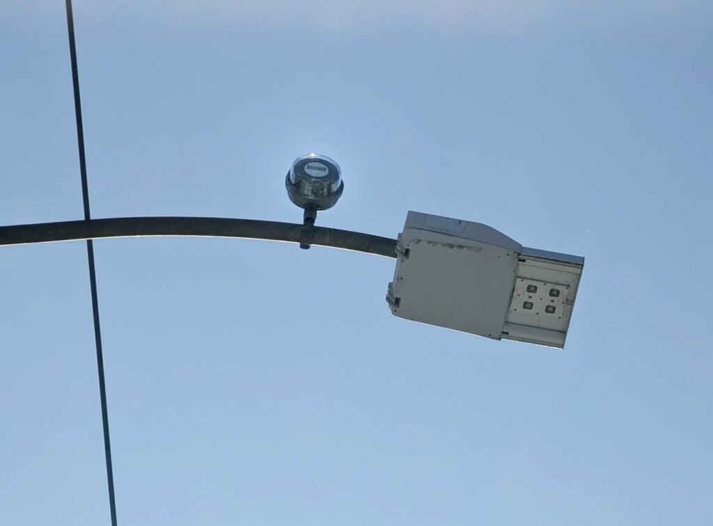
A smart city is an urban area that uses networked digital technology, sensors, and data analysis to monitor and manage its infrastructure, services, and resources more efficiently, with the stated goal of improving quality of life, reducing waste, and making municipal operations more responsive. The term covers an unusually broad range of applications, from traffic
Smart City Read More »
An urban area that uses networked digital technology and data analysis to manage infrastructure and services more efficiently.
Transit-oriented development is an approach to urban planning that concentrates housing, jobs, retail, and other amenities within easy walking distance of a public transit station, typically defined as a quarter- to half-mile radius, with the goal of making transit a convenient and attractive alternative to driving. Rather than treating a train or bus station as
Transit-Oriented Development Read More »
An urban planning approach that concentrates dense, mixed-use, walkable development around public transit stations.
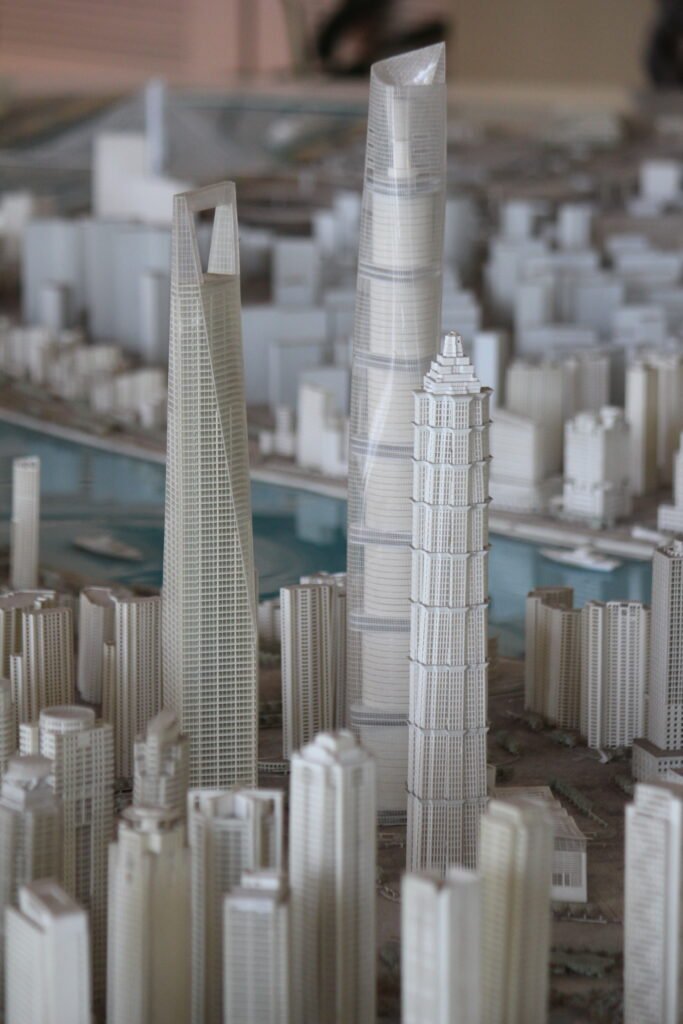
Urban planning is the professional discipline concerned with designing and regulating the physical layout, land use, infrastructure, and growth of towns and cities. It sits at the intersection of architecture, civil engineering, economics, environmental science, and public policy, since decisions about where roads, housing, parks, and factories go shape nearly everything about how people live,
Urban Planning Read More »
The discipline of designing and regulating the physical layout, land use, and growth of towns and cities.
Urban sprawl refers to the rapid, low-density outward expansion of a city into surrounding undeveloped land, typically characterized by car-dependent single-use development, large residential subdivisions disconnected from jobs and shops, and highway-oriented commercial strips. It is distinguished from ordinary urban growth by its specific pattern: low density, strict separation of residential, commercial, and office uses,
Urban Sprawl Read More »
The rapid, low-density, car-dependent outward expansion of a city into surrounding undeveloped land.
Walkability is a measure of how friendly an area is to walking, based on factors such as the presence and quality of sidewalks, the distance between destinations, street connectivity, safety from traffic, and the overall experience of moving through a place on foot rather than by car. Planners treat walkability as both a desirable urban
Walkability Read More »
A measure of how friendly an area is to walking, based on sidewalks, destination distance, connectivity, and safety.
Zoning is the legal mechanism by which local governments divide land into designated districts and regulate what can be built or operated within each one, controlling factors such as permitted land use, building height, density, setbacks from property lines, and parking requirements. It is the single most consequential tool in the urban planner’s toolkit because
Zoning Read More »
The legal mechanism by which local governments divide land into districts and regulate permitted use, height, and density within each.