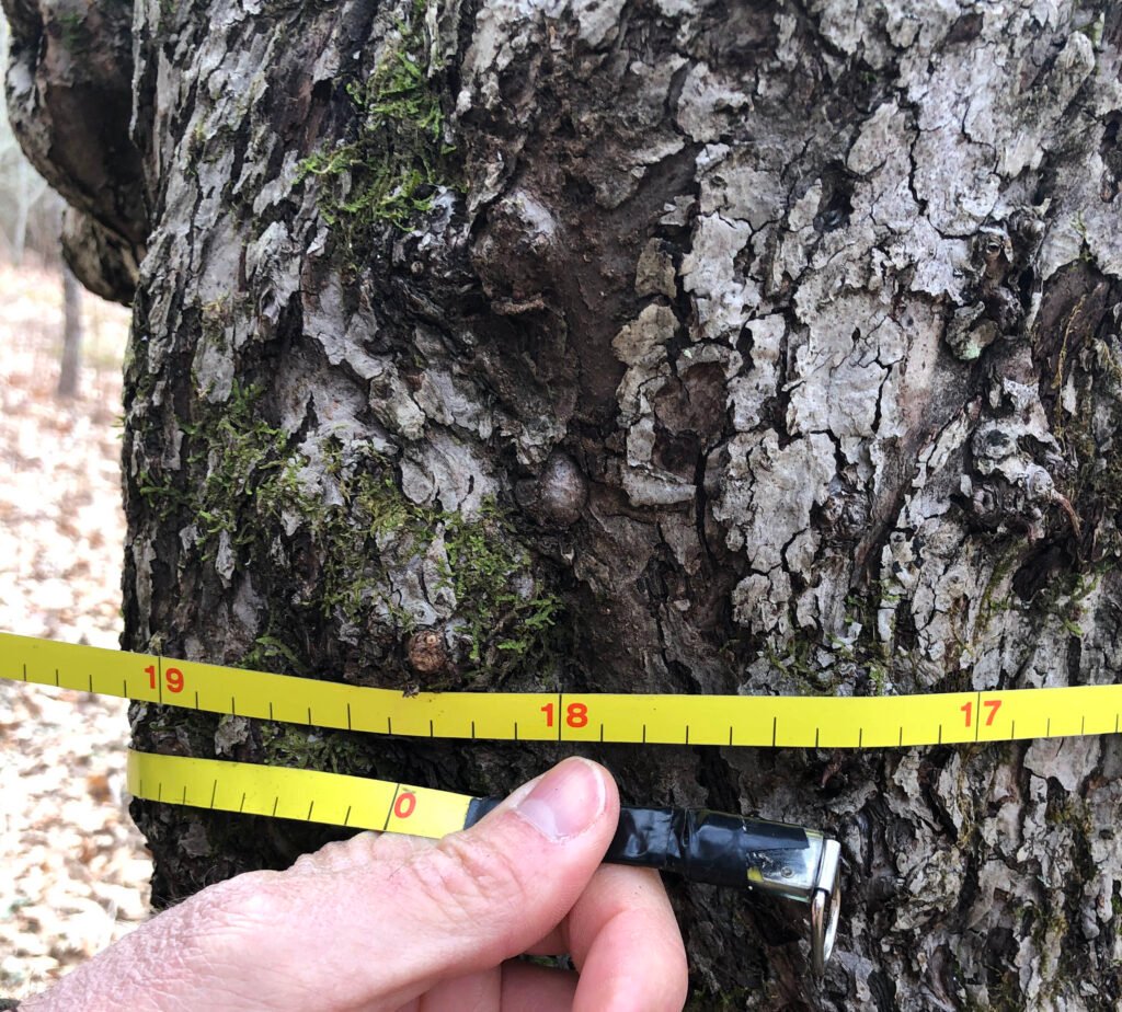
A forest inventory is a systematic survey that records the species, size, condition, and distribution of trees across a defined area, providing the data foundation for forest management planning.
What Inventories Measure
Field crews typically measure tree diameter at breast height, estimate total height, record species, and note health indicators such as disease or insect damage, often sampling a representative set of fixed plots rather than counting every tree across a large landholding. These measurements are combined with statistical sampling methods to estimate total timber volume, growth rate, and species composition across the entire inventoried area.
Technology in Modern Inventories
Modern forest inventories increasingly combine traditional ground-based plot sampling with remote sensing technologies such as aerial photography, satellite imagery, and LiDAR, which can map canopy height and density across vast areas far faster than field crews alone. These tools allow foresters to extend accurate, statistically sound estimates across large and often remote landscapes that would be impractical to survey entirely on foot.
Uses in Management Planning
Inventory data underpins nearly every major forestry decision, from calculating sustainable harvest levels and scheduling future cuts to detecting disease outbreaks early and tracking how a stand responds to past management actions over time. Without reliable inventory data, sustained-yield calculations and certification audits would have no factual basis, making inventory work a quiet but essential foundation of responsible forest management.
National and Global Monitoring
Many countries maintain standing national forest inventory programs that resurvey plots on a recurring cycle, generating long-term datasets used to track deforestation, carbon storage, and timber supply trends at a national scale. These national programs feed into international reporting efforts, including the Food and Agriculture Organization’s global forest resource assessments that compare forest trends across countries.
Statistical Sampling Approaches
Because measuring every tree across a large forest is impractical, inventory crews rely on statistical sampling designs, such as systematic grid plots or stratified random sampling that allocates more plots to variable terrain, to produce volume and growth estimates with a known margin of error. These sampling methods allow foresters to state inventory results with calculated confidence intervals rather than presenting a single estimate as if it were an exact count.
Continuous Forest Inventory Systems
Many large forest landholdings maintain permanent sample plots that are remeasured on a recurring cycle, often every five to ten years, allowing managers to track growth, mortality, and regeneration trends over time rather than relying only on a single snapshot survey. These continuous inventory systems are especially valuable for detecting slow-developing problems, such as a gradual decline in regeneration success or an emerging pest outbreak, before they become severe.
Inventory Data and Carbon Accounting
As forest carbon markets and climate reporting requirements have grown, inventory data increasingly feeds directly into carbon stock calculations, since the volume and growth figures gathered for timber planning translate directly into estimates of how much carbon a given forest stores and sequesters annually. This dual use has raised the stakes for inventory accuracy, since errors that once primarily affected harvest planning can now also affect carbon credit valuations and climate reporting commitments.
Historical Development of Inventory Methods
Early forest inventories relied entirely on manual plot measurement and hand calculation, a slow and labor-intensive process that limited how frequently large landholdings could be resurveyed; the introduction of aerial photography in the mid-twentieth century and satellite and LiDAR technology more recently have each dramatically expanded the scale and frequency at which reliable inventory data can be collected.
Looking ahead, machine learning applied to satellite and LiDAR data promises to further automate inventory analysis, potentially allowing near-continuous monitoring of forest change rather than the periodic snapshot surveys that have defined the field for most of its history.
Data Management and Reporting
Large forestry operations now typically store inventory data in dedicated geographic information systems that link plot measurements to mapped stand boundaries, allowing managers to query current timber volume, species composition, or carbon stock for any portion of their landholding almost instantly rather than digging through paper records. These systems also support the detailed reporting that certification audits and regulatory filings increasingly require.
International Standardization Efforts
Organizations including the Food and Agriculture Organization have worked to standardize inventory methodology definitions across countries, since inconsistent measurement standards historically made it difficult to compare forest statistics reliably between nations, complicating global assessments of deforestation rates and carbon stock changes that depend on aggregating national inventory data.
As climate policy increasingly ties financial incentives to verified forest carbon data, the humble field plot measurement at the heart of every forest inventory has taken on new significance well beyond its traditional role in timber planning alone.
Training the Next Generation of Foresters
Forestry schools increasingly teach students to combine traditional field measurement skills with geographic information systems and remote sensing analysis, reflecting how thoroughly technology has reshaped what a working forest inventory specialist is expected to know compared with a generation ago.
Whether gathered by hand in a remote plot or processed automatically from a satellite pass, inventory data remains the quiet foundation on which every major forest management decision ultimately rests.
As climate and carbon policy place growing value on precise forest measurement, the profession of forest inventory work is likely to keep gaining importance well beyond its traditional home within timber-focused forestry operations.
Despite its humble, repetitive nature, few activities in forestry carry as much downstream influence on policy, finance, and conservation outcomes as a carefully conducted forest inventory.
That reliability, built plot by plot over decades, is why forest inventory remains one of the most quietly consequential disciplines within the broader practice of forest management.
Key facts
- Combines ground plot sampling with statistical estimation;Increasingly supplemented by LiDAR and satellite remote sensing;Underpins sustainable harvest calculations and certification audits
Quick checkWhy do modern forest inventories often use LiDAR and satellite data?Show answer
To extend accurate measurements across large or remote areas faster than ground surveys alone
Sources
- Food and Agriculture Organization global forest resource assessments
Editorially reviewed by Specialty Digest Editorial TeamLast reviewed November 3, 2026Researched and drafted with AI assistanceReport an issue