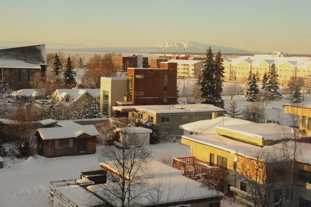
Knik Arm is a roughly 15-mile (24 km) waterway at the northern edge of Cook Inlet, running north and east from near Anchorage. It is one of two narrow branches of the inlet, the other being Turnagain Arm.[1]
| Length | About 15 miles |
|---|---|
| Head | Knik River and Matanuska River |
| Port | Port of Anchorage |
| Dena’ina name | Nuti |
Rivers
The Matanuska River joins at the upper end and the Knik River meets the arm at its head, where the former village of Knik stood. Other tributaries include Ship Creek, Eagle River, Peters Creek, Eklutna River and Fish Creek. The Susitna River, the largest stream entering the inlet, has its delta to the west.[1]
Anchorage and crossings
The Port of Anchorage is on the arm. A proposed Knik Arm Bridge would span about 2 miles from Point MacKenzie to Anchorage.[1]
Naming
The Dena’ina name is Nuti, meaning salt water, and Knik derives from the Inupiaq word igniq, meaning fire.[1]
FAQs
How long is Knik Arm? About 15 miles.
What does Nuti mean? Salt water.
What city is on it? Anchorage.
Sources
Key facts
- 15 miles
- Port of Anchorage
- Dena’ina name Nuti
Quick checkLength?Show answer
About 15 miles.
Sources
- Wikipedia. Knik Arm. 2026 (accessed 2026-11-12)
Editorially reviewed by Specialty Digest Editorial TeamLast reviewed November 12, 2026Researched and drafted with AI assistanceReport an issue