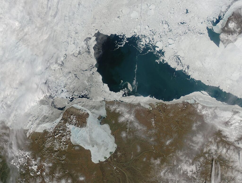
The Chukchi Sea is an Arctic marginal sea north of the Bering Strait, bounded on the east by Point Barrow, Alaska, and on the west by the Long Strait off Wrangel Island. Its average depth is about 80 metres and it is navigable only about four months of the year.[1]
| Average depth | 80 m (260 ft) |
|---|---|
| Surface area | About 595,000–620,000 km² |
| East boundary | Point Barrow, Alaska |
| South boundary | Bering Strait |
Boundaries and size
The sea is bounded on the south by the Bering Strait and on the north by a line from Point Barrow to Wrangel Island. The article gives its area as 620,000 km² in the infobox and about 595,000 km² in the text. Depths under 50 metres cover 56 percent of the sea.[1]
Ecology
The 80 km Chukchi Corridor on the shelf is a migration route for bowhead whales, belugas, Pacific walruses and bearded seals, and polar bears live on the pack ice.[1]
Naming
Norwegian explorer Harald Sverdrup identified it as distinct from the East Siberian Sea in 1928, and it is named after the Chukchi people of Chukotka. The name was approved in 1935.[1]
FAQs
How deep is the Chukchi Sea? About 80 metres on average.
Who named it? It is named for the Chukchi people.
Where does it end in Alaska? At Point Barrow.
Sources
Key facts
- Navigable 4 months
- Chukchi Corridor
- Named 1935
Quick checkAverage depth?Show answer
About 80 m.
Sources
- Wikipedia. Chukchi Sea. 2026 (accessed 2026-11-12)
Editorially reviewed by Specialty Digest Editorial TeamLast reviewed November 12, 2026Researched and drafted with AI assistanceReport an issue