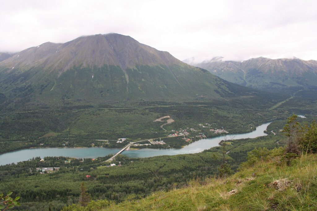
Sterling is a census-designated place in the Kenai Peninsula Borough on the western side of the Kenai Peninsula. The Kenai River forms its southern boundary, and the community supports tourism and sport fishing and hunting.[1]
| Borough | Kenai Peninsula Borough |
|---|---|
| Opened for settlement | 1947 (as Naptowne) |
| Post office | 1954 |
| Population, 2020 | 5,918 |
| Total area (2020) | 79.64 sq mi |
| Main roads | Sterling Highway (Alaska Route 1) |
Location
Sterling is bordered by Ridgeway to the west, Soldotna to the southwest and Funny River to the south. Soldotna Creek forms its western boundary and the Kenai River its southern boundary. The Sterling Highway runs through the community, 11 miles southwest to central Soldotna and 34 miles east to Cooper Landing, and Kenai is 22 miles west via Soldotna.[1]
History
The area opened for settlement in 1947 under the name Naptowne, and a post office named Sterling, for the Sterling Highway, opened in 1954. Sterling first appeared in the 1960 census as an unincorporated village and became a census-designated place in 1980. A nearby archaeological site with prehistoric Dena’ina house pits shows that the area was inhabited long before settlement.[1]
Population
Census counts were 115 in 1960, 30 in 1970, 919 in 1980, 3,802 in 1990, 4,705 in 2000, 5,617 in 2010 and 5,918 in 2020. In 2020 the total area was 79.64 square miles, of which 77.78 was land.[1]
Economy and recreation
Tourism and support for sport fishing and hunting are the main industries. Sterling borders the Kenai National Wildlife Refuge and includes two state parks, Scout Lake and Morgan’s Landing. Morgan’s Landing State Recreation Area, headquarters for Alaska State Parks on the Kenai Peninsula, has a campground and one of the few public bank-fishing access points on the middle Kenai River.[1]
FAQs
Why is it called Sterling? The post office was named for the Sterling Highway.
What was it first called? Naptowne.
What is its population? 5,918 in the 2020 census.
Sources
Key facts
- Opened for settlement 1947
- 2020 population 5,918
Quick checkWhat was Sterling originally called?Show answer
Naptowne
Sources
- Wikipedia. Sterling, Alaska. 2026 (accessed 2026-11-14)
Editorially reviewed by Specialty Digest Editorial TeamLast reviewed November 14, 2026Researched and drafted with AI assistanceReport an issue