The Denali Highway is a 135-mile, mostly gravel road between Paxson and Cantwell, designated Alaska Route 8. Commissioned on August 5, 1957, it was the first road access to Denali National Park.[1]
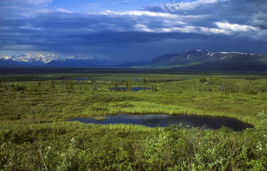
| Length | 135 mi (217 km) |
|---|---|
| Designation | Alaska Route 8 |
| West end | Cantwell |
| East end | Paxson |
| Commissioned | August 5, 1957 |
| Highest point | Maclaren Summit, 4,086 ft |
Route and surface
The road runs from the Parks Highway at Cantwell to the Richardson Highway at Paxson. It is mostly gravel, with the easternmost 21.3 miles and westernmost 2.6 miles paved, and the recommended speed limit is 30 miles an hour. Maclaren Summit, at 4,086 feet, is the highest point, and the Susitna River crossing is the only large bridge.[1]
History
Construction began in early 1950 and the road was commissioned on August 5, 1957. It was the first road access to Denali National Park, and primary park access has been via the Parks Highway since 1971.[1]
Season
The highway is closed to all traffic from October to mid-May, the state clears it in late April, and first snows typically close the eastern end in late September and the western end in late October to early November. In winter only snowmobiles and dogsleds use it.[1]
Facilities
Developed campgrounds are at Tangle Lakes, mile 22, and Brushkana Creek, mile 104. The Tangle Lakes are the headwaters of the Delta River.[1]
FAQs
How long is the Denali Highway? 135 miles.
Is it paved? Mostly gravel, with short paved sections at both ends.
When is it closed? From October to mid-May.
Sources
Key facts
- 135 miles
- Closed October to mid-May
Quick checkWhen was the Denali Highway commissioned?Show answer
August 5, 1957
Sources
- Wikipedia. Denali Highway. 2026 (accessed 2026-11-14)
Editorially reviewed by Specialty Digest Editorial TeamLast reviewed November 14, 2026Researched and drafted with AI assistanceReport an issue