Nikiski is a census-designated place in the Kenai Peninsula Borough on the western side of the peninsula along Cook Inlet, reached by the Kenai Spur Highway about 11 miles north of Kenai. It had 4,456 residents in 2020.[1]
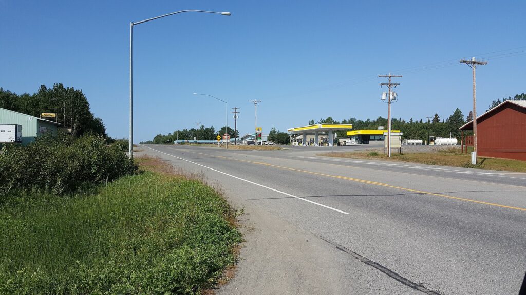
| Population (2020) | 4,456 (4,493 in 2010) |
|---|---|
| Area | 75.9 sq mi |
| Elevation | 128 ft |
| Access | Kenai Spur Highway |
| Median age (2020) | 42.7 |
| Households (2020) | 1,724 |
Location
Nikiski lies on the west side of the Kenai Peninsula along Cook Inlet, with Salamatof to the south and the Swanson River to the northeast. Its area is 75.9 square miles, of which 69.4 are land and 6.5 are water.[1]
History and name
The area first appeared in the 1880 census as Tinneh villages with a combined population of 74. It was organised as a census-designated place in 1980 under the name Nikishka and was renamed Nikiski in 1990.[1]
Industry
The former Agrium fertilizer plant was once the borough’s largest employer. It closed in 2008 because of natural gas shortages, and the company explored reopening it.[1]
Demographics
In 2020, 77.6 percent of residents were White, 11.4 percent identified with two or more races and 7.2 percent were American Indian or Alaska Native, and the community is classed as entirely rural. The median age was 42.7, and 54.2 percent of the 1,724 households were married-couple households.[1]
Location and area
Nikiski is a census-designated place on the west side of the Kenai Peninsula along Cook Inlet, between Salamatof to the south and the Swanson River to the northeast, at an elevation of 128 feet. It covers about 75.9 square miles, about 6.5 of them water, with low-lying land and several lakes including Stormy Lake and Daniels Lake [2].
Population
The 2020 census counted 4,456 residents, down slightly from 4,493 in 2010, after growth from 1,109 in 1980 and 2,743 in 1990 [2].
Name
The 1880 census listed Tinneh villages named Kultuk and Titukilsk and Nikishka. The area was organized as Nikishka in 1980 and renamed Nikiski in 1990 [2].
Industry
An Agrium fertilizer plant was once the borough largest employer; it closed in 2008 because of natural gas shortages [2].
Transportation
The Kenai Spur Highway runs about 11 miles south to the city of Kenai and north to Captain Cook State Recreation Area, and the Nikiski Emergency Escape Route also leads south to Kenai [2].
FAQs
Where is Nikiski? On Cook Inlet, 11 miles north of Kenai on the Kenai Spur Highway.
What was it formerly called? Nikishka, until 1990.
What happened to the fertilizer plant? It closed in 2008 because of natural gas shortages.
How many people live in Nikiski? 4,456 at the 2020 census [2].
When was Nikiski renamed? The spelling changed from Nikishka to Nikiski in 1990 [2].
Sources
Key facts
- 4,456 residents (2020)
- Renamed 1990
Quick checkWhat was Nikiski called before 1990?Show answer
Nikishka
Sources
- Wikipedia. Nikiski, Alaska. 2026 (accessed 2026-11-14)
- Wikipedia. Nikiski, Alaska. 2026 (accessed 2026-11-14)
Editorially reviewed by Specialty Digest Editorial TeamLast reviewed November 14, 2026Researched and drafted with AI assistanceReport an issue