Noatak National Preserve in northwest Alaska covers 6,569,904 acres entirely above the Arctic Circle. Established as a national monument on 1 December 1978, it became a preserve with the Alaska National Interest Lands Conservation Act on 2 December 1980.[1]
| Area | 6,569,904 acres |
|---|---|
| Established | 1 Dec 1978 (monument); 2 Dec 1980 (preserve) |
| Wild and Scenic river | 330 miles |
| Wilderness | 5,765,427 acres |
Designations
The Noatak Wilderness covers 5,765,427 acres, the fourth-largest wilderness in the United States, and 330 miles of the river are a National Wild and Scenic River. It was a World Biosphere Reserve from 1976 until its withdrawal in June 2017.[1]
Wildlife
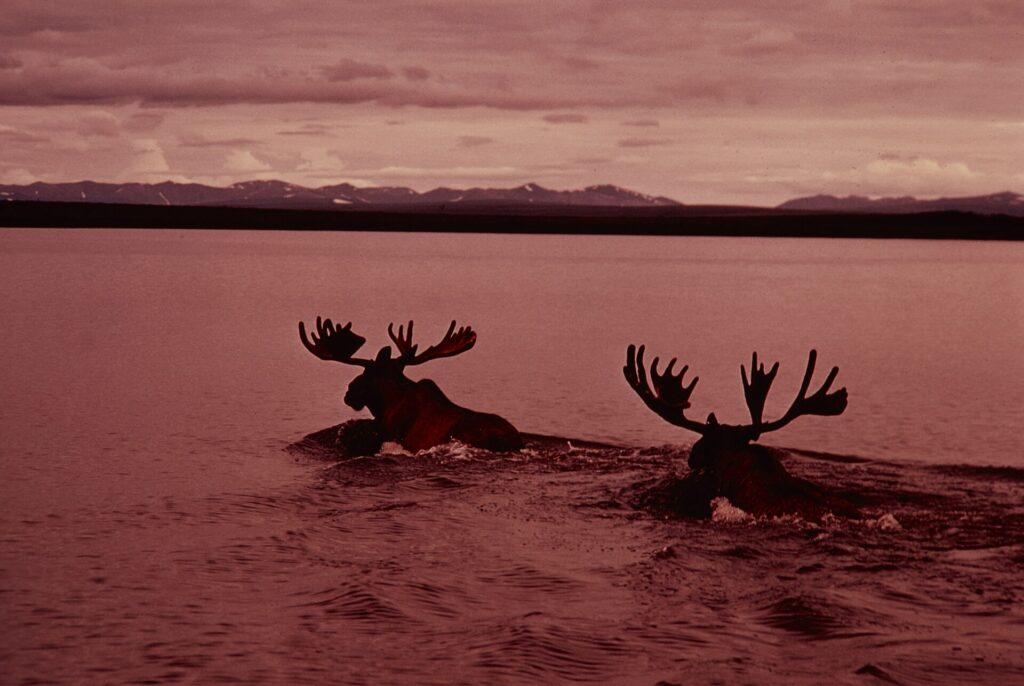
Mammals include moose, grizzly and black bears, wolves, Arctic foxes, Dall sheep and caribou herds of more than 230,000. Fish include chum, pink, chinook and sockeye salmon, Arctic char, grayling and sheefish.[1]
The river system
The Noatak River system is described as the last remaining complete river system in the United States that has not been altered by human activities. The nearest city is Kotzebue.[1]
FAQs
How large is Noatak? 6,569,904 acres.
When was it designated a preserve? 2 December 1980.
Which city is nearest? Kotzebue.
Sources
Key facts
- Above Arctic Circle
- 330 miles of river
- Caribou 230,000+
Quick checkArea?Show answer
6,569,904 acres.
Sources
- Wikipedia. Noatak National Preserve. 2026 (accessed 2026-11-12)
Editorially reviewed by Specialty Digest Editorial TeamLast reviewed November 12, 2026Researched and drafted with AI assistanceReport an issue