In simple terms An aquifer is a layer of rock, sand or gravel below the ground that is saturated with water and can give that water up to wells and springs. It is not an underground lake. The water sits in the spaces between grains and in the cracks running through rock, much as water
Aquifer Read More »
An aquifer is an underground layer of rock or sediment saturated with water that can be drawn out through wells and springs.
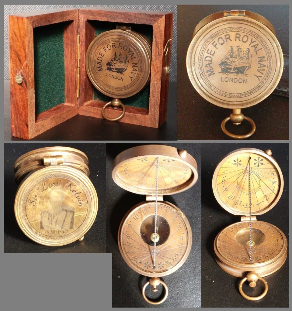
A compass is a navigational instrument with a freely turning magnetized needle or card that lines up with Earth’s magnetic field and so shows direction. Magnetic compasses were first described in China, were being used at sea by the 12th century, and became standard equipment for navigation around the world. History of the compass Lodestone,
Compass Read More »
A navigational instrument whose magnetized needle aligns with Earth's magnetic field to show direction, first described in China.
In simple terms Erosion is the wearing away of the land surface, and the carrying of the loosened material somewhere else. The UN Office for Disaster Risk Reduction defines it as the wearing away of the land surface by water, wind, ice, gravity or other natural or human agents that abrade, detach and remove soil
Erosion Read More »
Erosion is the wearing away of the land surface by water, wind, ice or gravity, and the removal of the loosened material elsewhere.
In simple terms A glacial lake outburst flood is the sudden release of water held in a lake fed by a melting glacier. The UN Office for Disaster Risk Reduction defines it as a sudden release of a significant amount of water retained in a glacial lake, whatever the cause. The short form is GLOF.
Glacial lake outburst flood Read More »
A glacial lake outburst flood is the sudden release of water stored in a lake fed by a melting glacier.
In simple terms The moment magnitude scale is the standard way seismologists state how big an earthquake was. It is written Mw, and it has replaced the Richter scale for most serious work. It describes the earthquake at its source. One earthquake has one magnitude, wherever you happened to be standing. How it works The
Moment magnitude scale Read More »
The moment magnitude scale, written Mw, states an earthquake's size from the slip, fault area and rock rigidity at its source.
In simple terms Plate tectonics is the idea that Earth’s rigid outer shell is broken into large slabs that move slowly over the hotter, softer layer underneath. The US Geological Survey describes a dozen or more large and small solid slabs, called lithospheric or tectonic plates, moving relative to one another on top of a
Plate tectonics Read More »
Plate tectonics is the theory that Earth's outer shell is broken into slabs that move, building mountains and causing earthquakes at their edges.
In simple terms The water cycle is the constant movement of water around the planet: where it is stored, and how it travels between those stores. The US Geological Survey calls it the hydrologic cycle and defines it as describing where water is stored on Earth and how it moves. Energy from the sun and
Water cycle Read More »
The water cycle is the continuous movement of Earth's water between the ocean, the atmosphere, the land surface and underground stores.