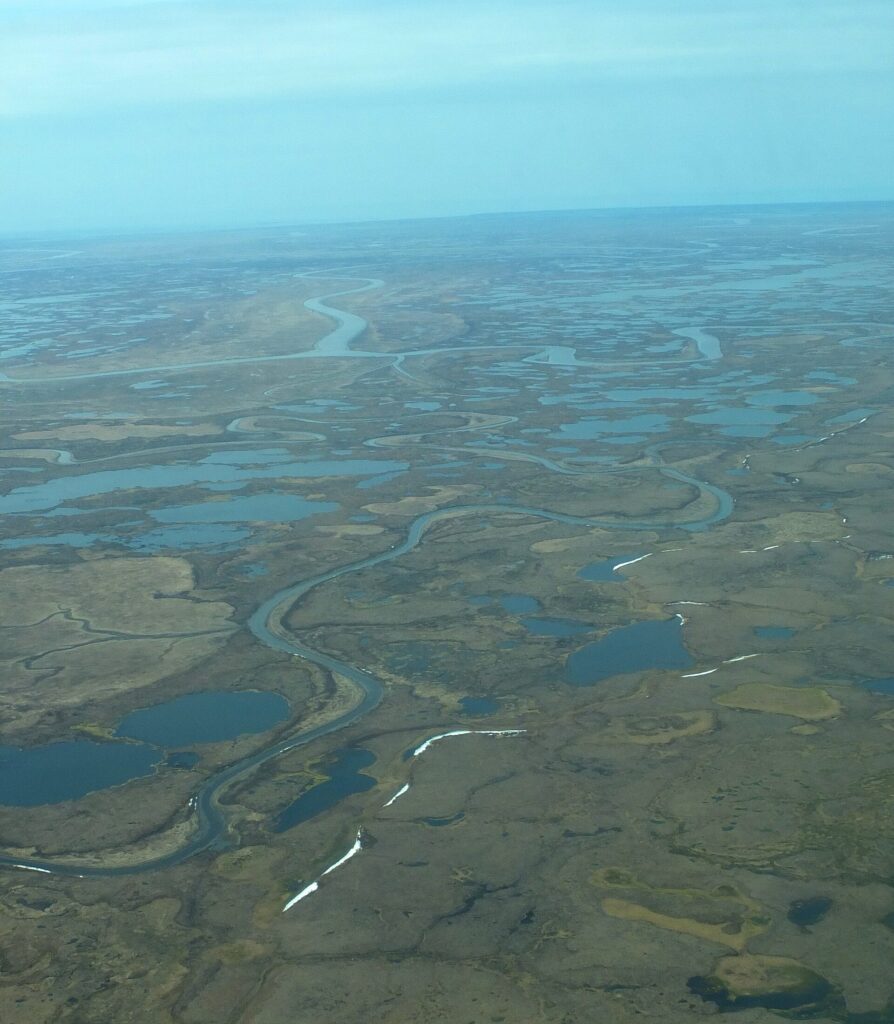
The Kuskokwim River is a river of Southwest Alaska about 702 miles (1,130 km) long, the longest river system entirely within a single U.S. state. It drains about 48,000 square miles, flows southwest from the confluence of its East and North Forks near Medfra, and empties into Kuskokwim Bay on the Bering Sea. Bethel is its largest community [1].
| Length | About 702 miles (1,130 km) |
|---|---|
| Basin | About 48,000 sq mi |
| Mouth discharge | About 67,000 cfs |
| Mouth | Kuskokwim Bay, Bering Sea |
| Largest community | Bethel |
| Highest point in watershed | Mount Russell |
Size and Rank
The river is the ninth-largest U.S. river by average discharge at its mouth, about 67,000 cubic feet per second, and the seventeenth-largest by basin area. It is the longest river system entirely within a single U.S. state [1].
Course
The river forms near Medfra, where the East and North Forks meet at an elevation of 3,655 feet, and flows southwest to Kuskokwim Bay near the village of Eek. The North Fork is about 250 miles long, rising in the Kuskokwim Mountains, and the South Fork about 200 miles, rising in the southwestern Alaska Range. The Swift, Stony and Holitna rivers join from the south, the Aniak River enters at Aniak, and the Kisaralik and Kwethluk join about 20 miles upstream of Bethel [1].
Lower River
Bethel is the largest community on the river, and the delta reaches the bay about 50 miles south-southwest of it. Below Aniak, the lower river lies within the Yukon Delta National Wildlife Refuge. Apart from its headwaters, the river is broad and flat, useful for boats and, in winter, ice roads [1]. See the entries on the Yukon–Kuskokwim Delta and the Yukon Delta National Wildlife Refuge.
Economy and Subsistence
Fur trapping and fishing were historically the main activities, and subsistence fishing for salmon and whitefish remains a staple for Yup’ik residents. Placer gold was found near Aniak in 1901, and the region’s placer deposits produced about 3.5 million troy ounces through 2004 [1].
Trails and Names
The Iditarod Trail follows the South Fork out of the Alaska Range and crosses the main stem near McGrath. The river’s names include Kusquqvak in Central Yup’ik, and a Russian sailor first recorded the name in 1826 [1]. See the entry on the Iditarod.
FAQs
How long is the Kuskokwim River? About 702 miles.
Where does it end? At Kuskokwim Bay on the Bering Sea.
What is its largest town? Bethel.
Why is it notable? It is the longest river system entirely within one U.S. state.
What do residents catch? Salmon and whitefish for subsistence.
Sources
More in Human Geography
Key facts
Quick checkWhat is the largest community on the Kuskokwim River?Show answer
Bethel
Sources
- Wikipedia. Kuskokwim River. 2026 (accessed 2026-11-12)
Editorially reviewed by Specialty Digest Editorial TeamLast reviewed November 12, 2026Researched and drafted with AI assistanceReport an issue