Prince of Wales Island is the fourth-largest island in the United States, after Hawaii, Kodiak Island and Puerto Rico. Covering 2,577 square miles in the Alexander Archipelago of the Alaska Panhandle, it is the homeland of the Tlingit people and lies mostly within the Tongass National Forest.[1]
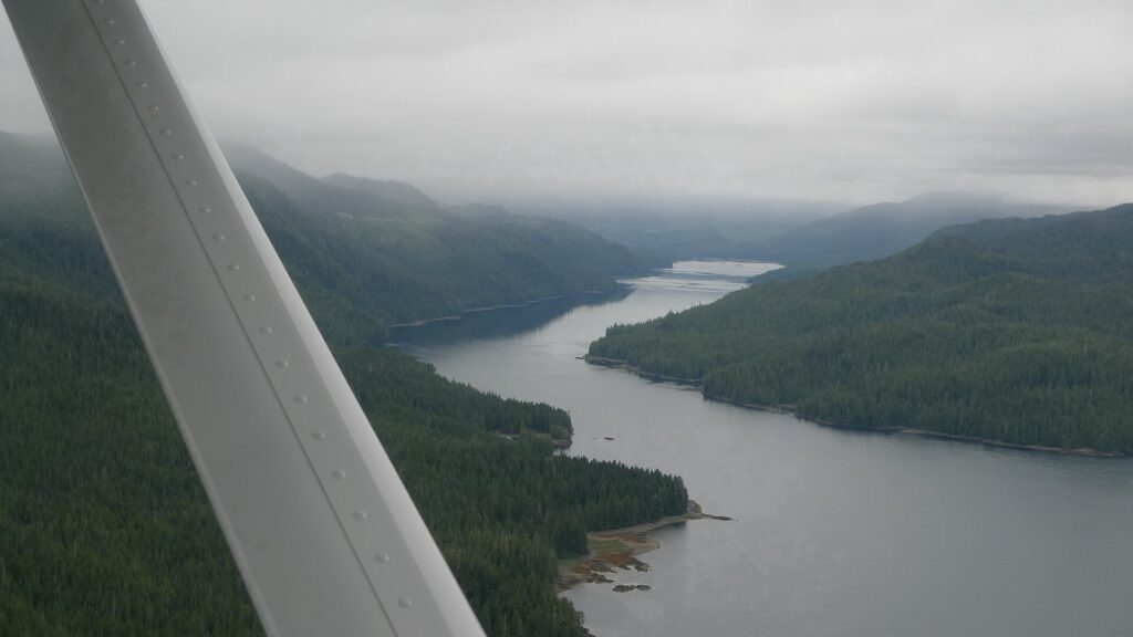
| Area | 2,577 sq mi (6,670 km²) |
|---|---|
| Size | 135 mi long, 65 mi wide |
| Rank | 4th largest U.S. island |
| Population | About 5,500–6,000 |
| Largest community | Craig |
| Road system | About 310 miles |
Geography
The island is 135 miles long and 65 miles wide, with mountains above 3,000 feet, fjords, forests and limestone karst. El Capitan Pit, at 598.3 feet, is possibly the deepest vertical shaft in the United States. The Tongass National Forest covers most of the island, and the Prince of Wales flying squirrel and Prince of Wales Island ermine are found nowhere else.[1]
People and communities
The Tlingit call the island Taan, meaning sea lion, and the Haida migrated into the area in the late 18th century. Four federally recognised Alaska Native tribes live there. Population is about 5,559 by the census figure, or roughly 6,000 in the source text. Craig is the largest community, with between about 1,036 and 1,500 residents depending on the source, Klawock has about 900, and Hollis, a former mining town, has about 100 and a ferry terminal.[1]
History
In 1741 Aleksei Chirikov made the first recorded European landfall on the northwest coast at Baker Island. Spanish, British and French expeditions visited between 1774 and 1793, and George Vancouver named the archipelago in 1793. Karta Bay was the site of Alaska’s first salmon saltery.[1]
Economy and transport
Logging was the main economic driver through most of the 20th century but has declined sharply. Mining has included gold, copper and uranium, and commercial fishing, sport fishing and tourism are also important. Most of the island is federal land. Klawock Airport is the only airport, the Inter-Island Ferry runs daily to Ketchikan on a roughly three-hour, 36-mile trip, and about 310 miles of roads reach most communities.[1]
FAQs
How big is Prince of Wales Island? 2,577 square miles, the fourth-largest in the U.S.
Who are its original people? The Tlingit, with Haida arriving in the late 18th century.
How do you get there? By ferry from Ketchikan or by air to Klawock.
Sources
Key facts
- 2,577 sq mi
- Tlingit homeland
Quick checkWhere does Prince of Wales Island rank by size in the U.S.?Show answer
Fourth
Sources
- Wikipedia. Prince of Wales Island (Alaska). 2026 (accessed 2026-11-13)
Editorially reviewed by Specialty Digest Editorial TeamLast reviewed November 13, 2026Researched and drafted with AI assistanceReport an issue