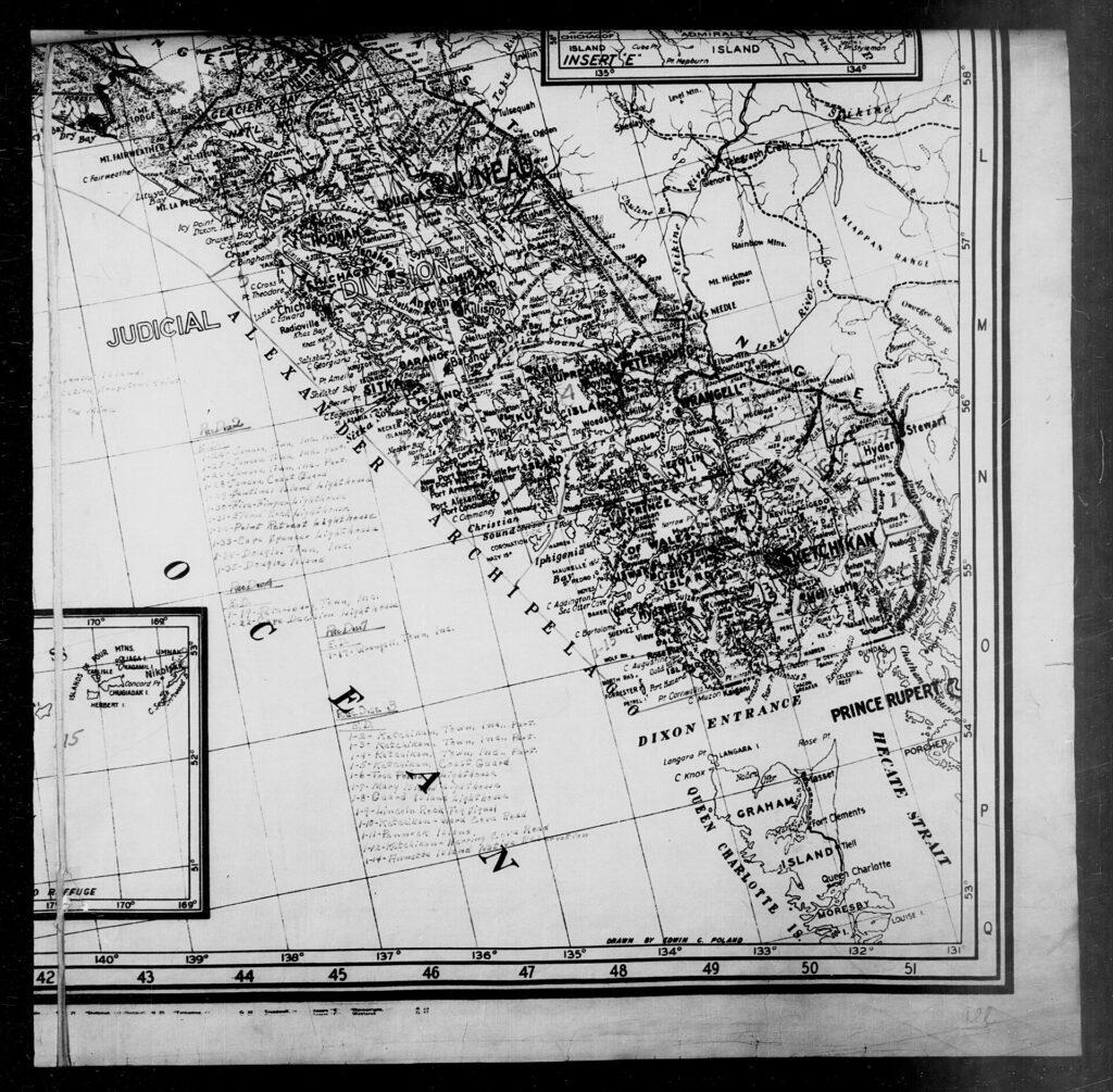
The Alexander Archipelago is a group of about 1,100 islands off the coast of Southeast Alaska, about 300 miles (480 km) long and sheltering the northern part of the Inside Passage. The islands are the tops of submerged coastal mountains, and most are part of the Tongass National Forest. The name honors Tsar Alexander II of Russia and was given by the U.S. Coast and Geodetic Survey in 1867 [1].
| Length | About 300 miles (480 km) |
|---|---|
| Islands | About 1,100 |
| Largest islands | Prince of Wales, Chichagof, Admiralty, Baranof, Revillagigedo, Kupreanof |
| Forest | Mostly Tongass National Forest |
| Peoples | Tlingit, Kaigani Haida, Tsimshian (Annette Island) |
| Named | 1867, for Tsar Alexander II |
Geography
The archipelago lies off the southeastern coast of Alaska at roughly 57°N, 134°W. The islands are the tops of submerged coastal mountains that rise steeply from the ocean, and deep channels and fjords separate them from the mainland and each other. Coasts are steep and irregular, and most islands can be reached only by boat or airplane [1].
Largest Islands
By land area the largest are Prince of Wales, Chichagof, Admiralty, Baranof, Revillagigedo and Kupreanof, followed by Kuiu, Etolin, Dall, Wrangell, Mitkof, Zarembo, Kosciusko, Kruzof, Annette, Gravina and Yakobi [1].
Ecology
Most of the islands are part of the Tongass National Forest. They have dense evergreen and temperate rain forests, are rugged, and are home to abundant wildlife [1].
Peoples and Towns
The Tlingit and Kaigani Haida are the native peoples of the area, and the Tsimshian on Annette Island immigrated from British Columbia in the late 19th century. Ketchikan, on Revillagigedo Island, and Sitka, on Baranof Island, are the largest towns, and part of Juneau lies on Douglas Island [1]. See the entries on the Tlingit, Haida and Tsimshian peoples.
European Exploration
Russian navigator Aleksei Chirikov was the first European to visit, in 1741. Juan José Pérez Hernández sighted Dall Island’s south coast in 1774, Juan Francisco de la Bodega y Quadra entered Bucareli Bay in 1775, and Jacinto Caamaño sighted Revillagigedo and the Gravina Islands in 1792. George Vancouver surveyed the archipelago in 1793 and 1794 [1].
Fur Trade and Transfer
The archipelago was a center of the maritime fur trade in the early 19th century, and control passed from Russia to the United States with the Alaska Purchase in 1867 [1]. See the entries on Novo-Arkhangelsk and the fur trade in Russian America.
Naming and Economy
The U.S. Coast and Geodetic Survey named it in 1867 for Tsar Alexander II; an 1860 map of Russian America had called the group the King George III Archipelago. Tourism, fishing and logging are the main industries [1].
FAQs
How many islands are in the Alexander Archipelago? About 1,100.
Where is it? Off Southeast Alaska, sheltering the northern Inside Passage.
Who was the archipelago named for? Tsar Alexander II of Russia.
What is the largest island? Prince of Wales Island is listed first among the largest.
Which towns are on it? Ketchikan and Sitka, plus part of Juneau on Douglas Island.
Sources
More in Human Geography
Key facts
Quick checkRoughly how many islands make up the Alexander Archipelago?Show answer
About 1,100
Sources
- Wikipedia. Alexander Archipelago. 2026 (accessed 2026-11-12)
Editorially reviewed by Specialty Digest Editorial TeamLast reviewed November 12, 2026Researched and drafted with AI assistanceReport an issue