Yardangs on Mars are wind-carved cliffs, and NASA’s Curiosity rover has photographed a layer of them on Mount Sharp. The agency released the panorama on October 6, 2026. The image shows a layer of rock that the mission team finds out of place on the mountain. This article summarizes the NASA release, explains what yardangs are and lists what the scientists have not yet determined.
What did Curiosity photograph?
The rover’s Mastcam captured six images on August 11, 2026, the 4,982nd Martian day, or sol, of the mission, at about 8:30 a.m. local Mars time. NASA stitched them into a panorama. The scene shows ridges and cliffs carved by wind. The image is not white balanced, which NASA says is an artistic choice, so the colors differ from how the scene would look under Earth light. Mastcam was built and is operated by Malin Space Science Systems.
What are yardangs?
Yardangs are streamlined ridges that wind sculpts from soft rock by blowing sand and dust against it over a long time. They are found on Earth in dry regions, and the release identifies the Martian cliffs as the same kind of feature. In general terms, they form where rock is weak enough to erode but strong enough to stand as ridges. This explanation is general and is not quoted from NASA.
How large is the feature?
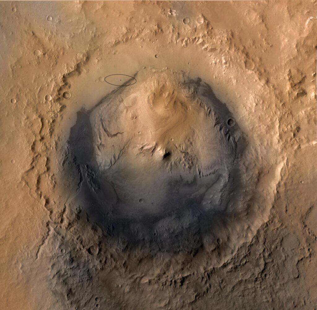
NASA says the layer extends roughly 10 miles, or 16 kilometers, across the northwestern part of Mount Sharp. Mount Sharp is about 3 miles, or 5 kilometers, tall and sits in Gale Crater. By our own arithmetic, the layer’s width is about 3 times the mountain’s height. The release gives no thickness for the layer, so we do not report one.
Why does the layer look out of place?
Project scientist Ashwin Vasavada says the layer looks as if it was plastered on, because its color is different, its layers are tilted and the rock does not match what lies around it. The team has two hypotheses. In one, the material was wind-carved after sediment stopped settling in the area. In the other, the layer is ancient volcanic ash. The release does not pick between them, and the rover has not yet reached the base of the cliffs.
What is Curiosity’s mountain climb?
Curiosity has been climbing Mount Sharp since 2014. NASA says it recently reached 1 kilometer of elevation gain, which the agency describes as the most ever climbed on Mars. That is NASA’s own claim, and we have not checked it against other missions. A look-back view from September 5, 2026 shows the floor of Gale Crater far below.
What comes next for the rover?
The mission is in the second year of its fifth extended mission. Over the next year or so, the rover will drive through layers rich in sulfate and carbonate minerals. The team hopes to reach the base of the yardangs around 2027. These are plans and hopes, and they depend on terrain and on the health of the rover.
Why do the layers matter?
The layers of Mount Sharp record how the environment of Gale Crater changed over time. In general terms, geologists read the layers from bottom to top like pages of a book, and a layer that does not fit is a sign that conditions changed. The release does not state what a volcanic origin or a wind origin would imply for ancient Mars, so we do not speculate.
What time of day is it in the image?
The panorama was captured at about 8:30 a.m. local Mars time. Low morning sunlight rakes across the cliffs and throws long shadows, which makes ridges and grooves easier to see than they would be at midday. In general terms, scientists often choose such times to bring out surface texture. The release does not say why this time was chosen, so this is a general explanation that is not quoted from NASA.
What is Gale Crater?
Gale Crater is the large impact basin where Curiosity landed, and Mount Sharp rises from its floor. The rover has climbed the lower slopes of the mountain since 2014. The release describes the mountain as about 3 miles, or 5 kilometers, tall. Because the rover is climbing through the mountain’s layers, each new stretch of the drive exposes younger or older rock depending on the direction, and the team studies how the layers change.
How to read the numbers
Distances such as 10 miles and 3 miles are rounded values given in the release. The sol number counts Martian days, which are slightly longer than Earth days. The elevation gain figure is a mission total and not a single drive. The 2027 date is a hope and not a schedule.
How does this connect to other coverage?
Other Mars reports on this site cover related work. See Perseverance and Martian dust, the Teghaza meteorite, the CHAPEA Mars habitat mission, the MMX mission to the Martian moons and the Mars helicopter blade.
What should readers watch for next?
Readers can watch for new images as the rover nears the base of the cliffs and for chemistry results from the sulfate and carbonate layers.
Glossary
- Yardang: a streamlined ridge carved by wind-blown sand
- Sol: one Martian day, about 24 hours and 40 minutes
- Mastcam: the rover’s pair of mast-mounted color cameras
- Sulfate: a mineral that contains sulfur and oxygen and often forms in water
- Extended mission: an operating period after the prime mission ends
These definitions are general explanations and are not quoted from NASA.
What is not covered here?
The release gives no chemistry for the yardang layer, so we report none. The release is NASA’s own account and has no independent review.
Key facts at a glance
- Panorama: six Mastcam images, August 11, 2026
- Layer width: roughly 10 miles (16 km)
- Mount Sharp height: about 3 miles (5 km)
- Climb: 1 kilometer of elevation gain
- Open question: wind-carved sediment or volcanic ash
Frequently asked questions
What are yardangs on Mars?
They are wind-carved ridges and cliffs in a layer on Mount Sharp.
How did the rover take the picture?
It used Mastcam to capture six images that NASA combined into a panorama.
What is the layer made of?
Unknown. Scientists are weighing wind-carved sediment and volcanic ash.
More in Science