The Gulf of Alaska is an arm of the North Pacific Ocean on Alaska’s south shore, with a surface area of 1,533,000 square kilometers (592,000 square miles). It runs from the Alaska Peninsula and Kodiak Island in the west to Cape Spencer in the east, stays ice-free year-round and is a major storm generator that supplies much of the rain and snow of southern Alaska and the Pacific Northwest [1].
| Area | 1,533,000 km² (592,000 sq mi) |
|---|---|
| Western limit | Kabuch Point and Kodiak Island |
| Eastern limit | Cape Spencer |
| Tlingit name | Yéil T’ooch’ |
| Ecosystem | Class I, >300 g carbon per m² per year |
| Largest glaciers on coast | Malaspina and Bering |
Extent and Boundaries
The Gulf sits on Alaska’s south shore at about 58°36′N, 145°12′W. The International Hydrographic Organization bounds it by the Alaskan coast to the north and a line from Cape Spencer to Kabuch Point to the south, while the USGS uses a southern line from the south end of Kodiak Island to Dixon Entrance. The Tlingit name is Yéil T’ooch’ [1].
Coast and Glaciers
Alaska’s largest glaciers, Malaspina and Bering, reach the coast along the Gulf. Cook Inlet and Prince William Sound are the two largest connected bodies of water indenting the coast, and Yakutat Bay and Glacier Bay lie along it, with Glacier Bay at the eastern end where the Inside Passage begins [1]. See the entry on Prince William Sound.
Lituya Bay
Lituya Bay, a fjord between Cross Sound and Mount Fairweather, is the site of what the source calls the largest recorded tsunami in history, and also serves as a sheltered anchorage for fishing boats [1].
Ecosystem
The Gulf is a Class I productive ecosystem, with more than 300 grams of carbon per square meter per year. The deep-water coral Primnoa pacifica is found at roughly 150–900 meters, part of the reason the area is labeled a Habitat Area of Particular Concern [1].
Climate and Currents
The North Pacific Current, fed by the warm Kuroshio Current, keeps the Gulf ice-free all year. A climate regime shift starting in 1977 raised mean sea surface temperature and increased the availability and variety of commercial fish species [1].
Storms
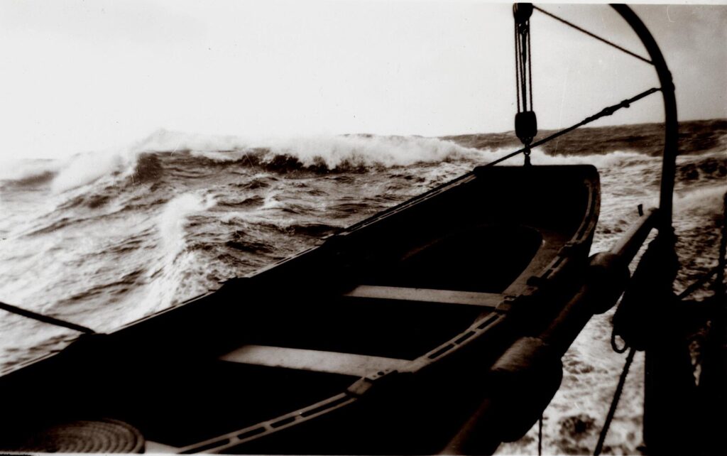
The Gulf is a major storm generator, dumping large amounts of snow and ice on southern Alaska, and many storms travel south along British Columbia, Washington and Oregon. Much of the seasonal rain and snow in the Pacific Northwest and Southwestern United States comes from the Gulf of Alaska [1]. See the entries on Southcentral Alaska and Kodiak Island.
FAQs
How large is the Gulf of Alaska? 1,533,000 square kilometers (592,000 square miles).
Does it freeze? No. The warm North Pacific Current keeps it ice-free all year.
What glaciers reach the Gulf? Malaspina and Bering Glaciers.
Where is Lituya Bay? On the Gulf coast between Cross Sound and Mount Fairweather.
How does the Gulf affect weather? It generates storms that bring rain and snow to southern Alaska and the Pacific Northwest.
Sources
Key facts
Quick checkWhat is the surface area of the Gulf of Alaska in square kilometers?Show answer
1,533,000
Sources
- Wikipedia. Gulf of Alaska. 2026 (accessed 2026-11-12)
Editorially reviewed by Specialty Digest Editorial TeamLast reviewed November 12, 2026Researched and drafted with AI assistanceReport an issue